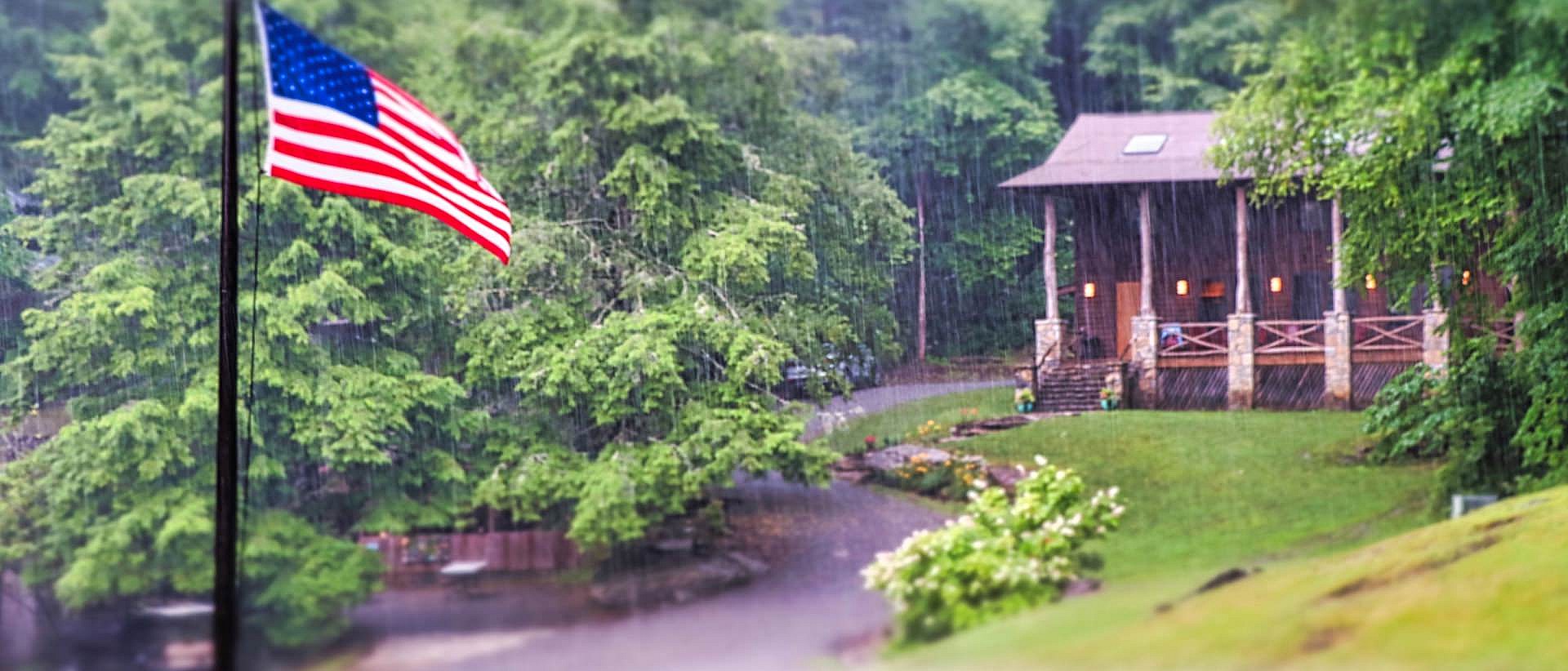
Rockbrook is located four miles south of Brevard, North Carolina, on US Highway 276.
Our main camp driveway is the intersection of Greenville Highway and Rockbrook Camp Drive.
We are approximately one hour by car from Asheville, NC, two hours from Charlotte, NC, and three hours from Atlanta, GA.
Here you can get Google Directions to Camp.
From Asheville, follow I-26 east and take exit 40 (Asheville Airport). Turn right and follow Hwy. 280 from the airport to downtown Brevard (about 20 miles). At the courthouse (on the left corner at the top of the hill), turn left onto Main Street (Hwy. 276). After 3 miles, you will pass Carr’s Hill Baptist Church on your left. Our camp entrance is on the left, 1/2 mile past the church.
From Atlanta, follow I-85 north and exit onto S.C. 11 (the South Carolina Welcome Station Exit). Stay on Hwy. 11 until you come to Hwy. 8 (about an hour). Turn left onto Hwy. 8; after a short distance, Hwy. 8 will merge into Hwy. 276. Wind up the mountain toward Brevard on Hwy. 276 past Caesar’s Head State Park. At the North Carolina state line you are about 9 miles from Rockbrook. The camp entrance is on the right, about two miles past Connestee Falls.
From Charlotte, follow I-85 south; take exit 10-B, west onto US Hwy. 74. Stay on Hwy. 74, pass through Shelby, NC, and take I-26 west toward Asheville. Take exit 40 (Asheville Airport). Turn left and follow Hwy. 280 from the airport to downtown Brevard (about 20 miles). At the courthouse (on the left corner at the top of the hill), turn left onto Main Street (Hwy. 276). After 3 miles, you will pass Carr’s Hill Baptist Church on your left. Our camp entrance is on the left, 1/2 mile past the church.


